Themes
![]()
Heritage
That the parish has a long and varied history is apparent from some lovely old buildings, but also in other ways. It is important that these links to our past are preserved as far as possible.
The Barns Charity fields, showing ridge and furrow, are a link to the Open Field system of farming in medieval times
The 29 steps on one of the local footpaths are a remnant of the boundary of Leicester Forest
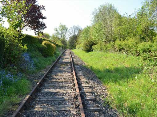
The railway, although now only used for goods trains, reminds us that this line was of national significance when it was built in the early 19th century
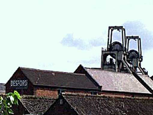
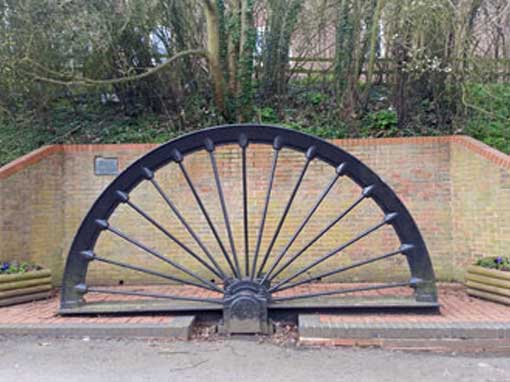
Although the site of Desford pit was outside the parish, the former Miners Institute (now the Village Hall) and the half wheel erected on Lindridge Lane are reminders of an important source of employment in the 20th century
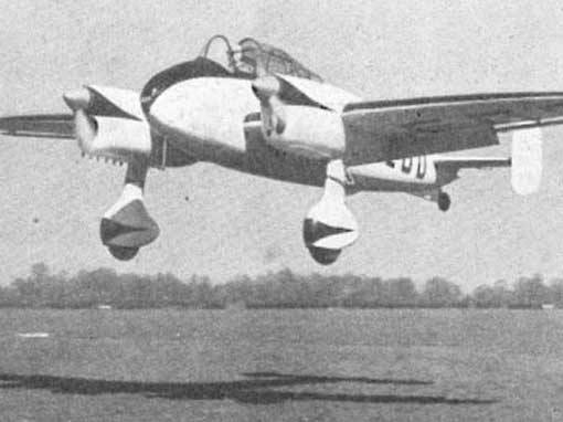
Desford Airfield played a significant part in the Second World War and the Desford plane was chosen to put on the street signs in the Conservation Area
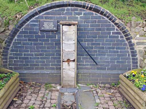
The reconstructed pump on Lindridge Lane and other pumps and wells preserved on various private properties are reminders of the days before mains water reached the village and there are documents in the archives that show how residents at the time resisted this change

Desford & District Local History Society are custodians of the archives for the parish. Contact details can be found on the website
Further information can be found in the following documents:
Historic buildings gazetteer (HER)
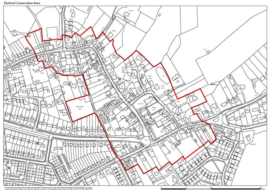
Conservation Area Appraisal (HBBC 2010)
Conservation Area Report (HBBC 2010)
Conservation Area Plan showing buildings of interest